A Three-Week Pack Trip Traversing the Canadian Rockies
By Tania Millen, BSc, MJ
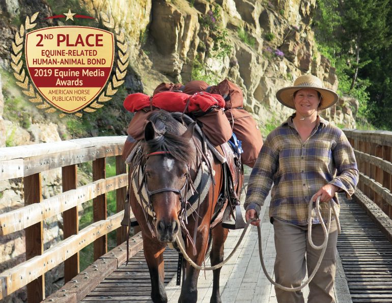
“Whoa up,” I called. One of the pack horses had broken loose and was causing havoc in our seven horse string. It was the first day of a three-week pack trip and all the horses were antsy, particularly my Spanish Mustang, Chocolate. He wasn’t happy being tucked in behind horses he didn’t know, leading one he didn’t like. I hopped off Chocolate and foolishly left him loose, breaking one of the golden rules of backcountry travel: always hang on to your horses.
While Sue held horses, and Tom and I caught the troublesome pack horse, Chocolate stealthily turned around then bolted down the back trail. “I’m going after him,” I yelled over my shoulder as I ran down the trail in his hoof prints.
My running attire - chaps, hiking boots and a wax jacket – was not ideal. I was ticked off at myself and had lots to worry about: bears, how far Chocolate would go, and whether I’d ever catch the bugger. Eventually, I ran around a corner and found him grazing, wearing an, “Oh there you are!” expression. I hopped on and trotted back to Sue and Tom, concluding a nice 10 kilometre jaunt for him… not so nice for me.
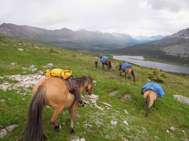
Heading down to Azure Lake in Jasper National Park.
The trip was challenging from the start. Sue and Tom are friends from New Zealand and were flying to Canada specifically for our pack trip. We’d planned to ride a remote route along the North American Continental Divide, but weeks of rain had left the access roads in poor condition. So while Sue and Tom were en route to Canada, I organized an entirely different trip.
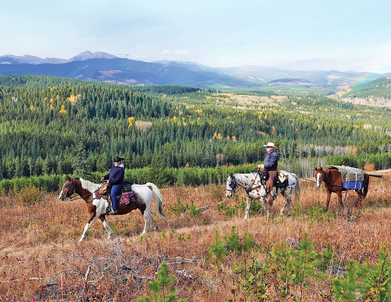
Our new plan was to cross the Rockies and the Continental Divide from east to west via scenic and little-used trails in Willmore Wilderness Park (Willmore) and Jasper National Park (JNP). Our starting point was Rock Lake Provincial Park, northwest of Hinton, Alberta, while our destination was a logging road near McBride, BC.
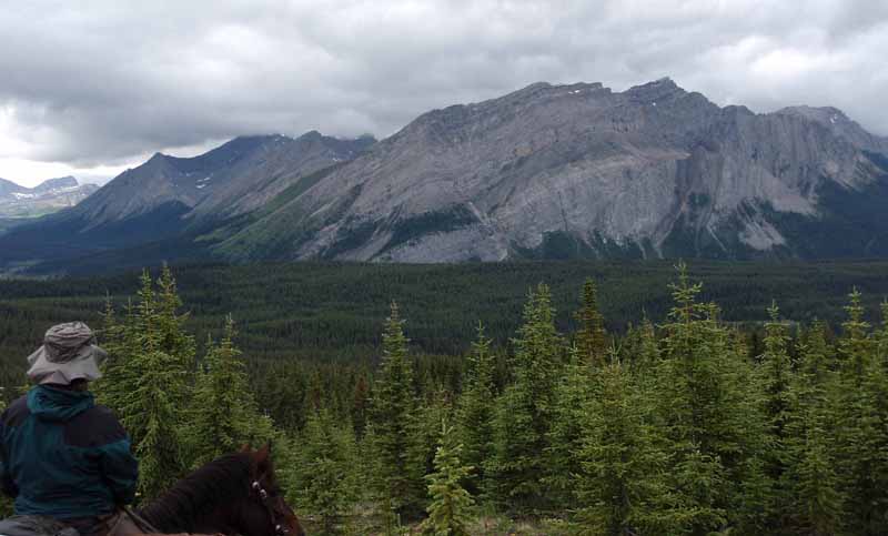
The view into the Sulphur River area of Jasper National Park.
Willmore is a relatively unknown park situated immediately north of JNP and is one of the most remote areas of Alberta. Except for historic First Nations settlements, outfitters camps and cabins, the park remains undeveloped. Willmore was initially traversed by First Nations, followed by Hudson’s Bay Company hunters and trappers in the 1800s. In the early 1900s, First Nations families were forced to relocate from JNP to Grande Cache through Willmore in winter. Their epic struggle is an unpleasant piece of Canadian history. Subsequently, pioneering, mountaineering, scientific, and surveying expeditions travelled through Willmore. They were followed by outfitters guiding hunters in the mid-1940s. Trails developed by those first outfitters still exist today, and we’d be following their tracks.
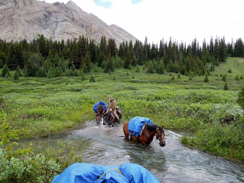
Below the beaver dam on the West Sulphur, heading for Blue Grouse campsite after six days on the trail and no sunshine.
JNP encompasses over 10,000 square kilometres of Rocky Mountain scenery, and became a national park in 1907. The history of JNP is similar to Willmore’s: First Nations followed by hunters and trappers. By the late 1800s, scientists and surveyors were travelling between the Snake Indian and Smoky Rivers, via Twintree Lake – the route we planned to follow. By 1915, mountaineers were climbing the 3,030-metre peaks that form the western boundary of the park and the North American Continental Divide – the Divide we planned to cross. Guides, outfitters, and park wardens established most of the pack train-friendly trails in the park and it was these historic trails we’d be following.
I was familiar with two-thirds of the route, but there was a chunk of trail in JNP that I was unfamiliar with and that Parks Canada hadn’t cleared. No information was available regarding its condition and Parks recommended that we take a chainsaw as they thought there would be lots of trees down. We opted for two axes and a handsaw. Ultimately, we weren’t sure whether we’d actually make it through.
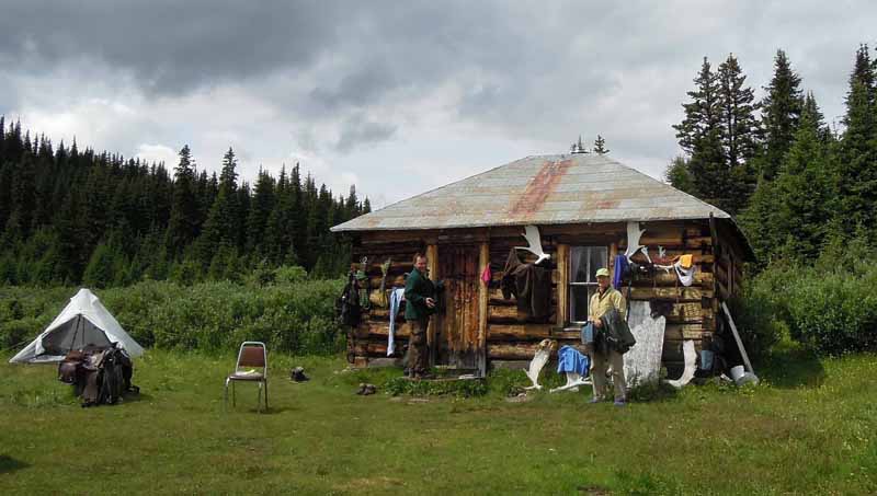
Drying out at the Mile 58 cabin at Summit pass, which was built in 1929 by forest rangers.
After Sue and Tom arrived, we spent the first day buying food and the second day driving nine hours to the trailhead in pounding rain. By the time my horses were in their paddocks and we were in our tents that evening, we were all wondering whether the trip would be any fun. Sue and Tom had rented gear and five horses from Stan Walchuk of Blue Creek Outfitting in McBride. Stan met us the next morning as promised and we packed up in the rain. We were only two km down the trail when Chocolate decided he’d rather be elsewhere.
Related: Exploring the Historic Telegraph Trail
After Chocolate’s bid for freedom, we rode northwest into Willmore for two days - up the Wildhay River and through narrow Eagle’s Nest Pass. It rained almost continuously and the trail became a gooey knee-deep mess of slimy clay. Our destination was the historic Mile 58 cabin at Summit Pass, and we were stoked about staying in a cabin with almost 90 years of history. The cabin was built in 1929 by forest rangers and the walls were scrawled with tales of trips gone awry, such as this cautionary tale: July – Lost 5 horses. August – Found 3 horses. October – found 1 horse. November – found last horse. It was a long summer. Yikes!
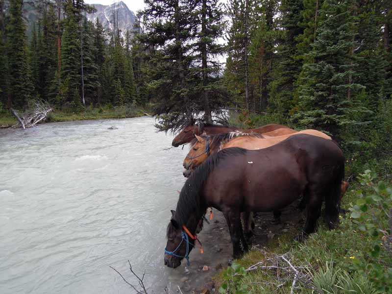
Mother Nature served refreshments along the way.
It continued to rain, and as we dried out in the cabin and rested the horses, the main topics of conversation were the rising waters and our route options. The rivers could become dangerous to cross, and getting stranded was a distinct possibility. We all had extensive backcountry experience and none of us were interested in having an epic adventure (or a swim!), so we decided to proceed cautiously.
Over the next few days, we carefully crossed the South Sulphur River to a unique geographical feature named Brewster’s Wall, then the West Sulphur River to Blue Grouse campsite. From Blue Grouse we planned to ride over Hardscrabble Pass into JNP. But after six days on the trail we still hadn’t seen the sun, and we absolutely had to have dry weather to ride over the pass. On Day 7, we were up at 4:30 am as usual, desperate for good weather. As the fog lifted and a bluebird sky appeared, we whooped with excitement. The weather gods had delivered! Peeling off layers of soggy clothes we packed up in record time and keenly hit the trail.
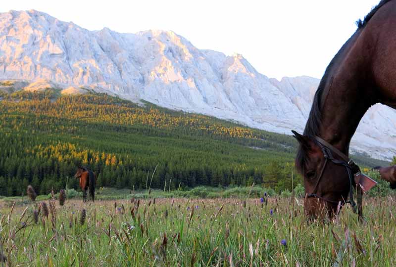
The horses enjoy the grazing in Blue Creek valley while sunshine colours the Ancient Wall mountains of Jasper National Park.
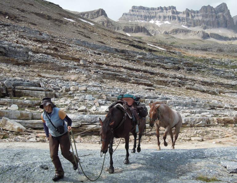
Hardscrabble Pass was spectacular. At 2,180 metres, it forms the boundary between Willmore and JNP and is seldom travelled. The tricky footing – steps of fissured pancake rocks, hoof-grabbing holes, and steep slick rock – was really challenging for the horses. At the top of the pass, we reveled in the sunshine and views; however, it was 3 pm and we still had 13 difficult kilometres to go. So after taking photos of the friendly marmots, we pushed on.
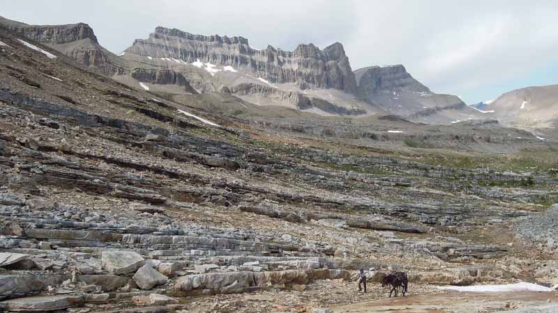
The challenging footing of the impressive Hardscrabble Pass, which forms the boundary between Willmore Wilderness Park and Jasper National Park.
There wasn’t a trail down to Azure Lake in JNP and the route-finding was difficult. We eventually hacked our way through tightly spaced trees and slid down a rockslide to get to the lake. But our challenges didn’t end there. The trail down Blue Creek valley was unused and difficult to follow. A lack of hoof prints on the trail indicated that very few people are fortunate to see this marvellous part of our country, while the lack of trail clearing suggested poor federal funding for Parks personnel. I revere our national parks, particularly Blue Creek valley, which I feel is the best kept secret in JNP, so I found our experience both frustrating and sad. However, after 14 hours on the trail, we finally arrived at Natural Arch campsite, exhausted but glad to have made it.
We enjoyed the splendour of Blue Creek valley for four idyllic days. Far from people, the moose and elk appeared, the horses enjoyed excellent grazing, and a full moon coloured the Ancient Wall mountains pale pink.
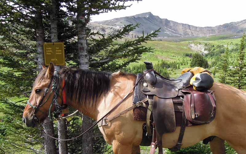
Snake Indian Pass, elevation 2027 metres.
From Blue Creek we spent a week following uncleared trail up Snake Indian River, over Snake Indian Pass to Twintree Lake, and across to the Smoky River. We were lucky on multiple fronts. There were many, many trees to walk over but unbelievably only two that we had to cut out, and fortunately, none that were show stoppers. The sun came out while crossing endlessly boggy Snake Indian Pass, providing excellent views of areas seldom travelled. We enjoyed lunch at an unmapped waterfall, never saw the grizzly whose massive tracks littered the trail, and all 12 of the bridges between Twintree and the Smoky were intact.
Related: Canada's Yukon on Horseback
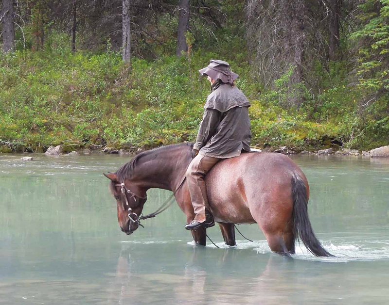
The author and Chocolate at Twintree Lake.
Upon arriving at the Smoky River, we celebrated having made it so far. Drinks were procured and a toast made: “To friends, horses and adventure.” It was lovely to relax, having successfully made it through the section of trail that had worried us for so long; however, the trip wasn’t over. We still had to navigate Chown Creek, gain Bess Pass and the Divide, plus cross a long section of alpine.
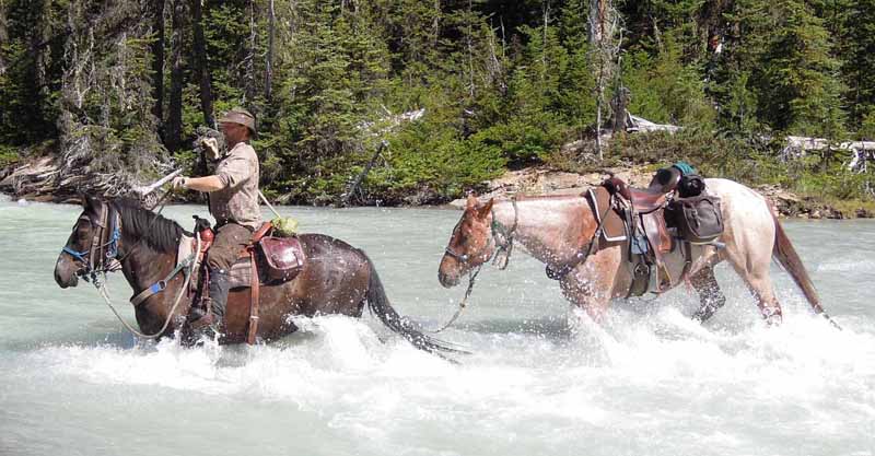
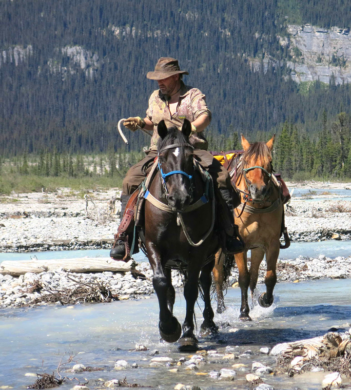
Tom crossing Chown Creek.
Unlike other days, the ride up Chown Creek was roasting hot. By the time we’d traversed the thick bear-path-riddled vegetation beneath Bess Pass, switch-backed up 200 metres of slick clay trail and topped out on Bess Pass, we were absolutely shagged. But there we were, on the Continental Divide, where raindrops falling on the west side of the Divide flow to the Pacific, while rain on the east side makes the long trip to the Arctic. We felt privileged to be there, having arrived the old-fashioned way - by pack train.
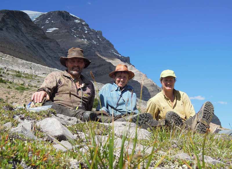
Tom, Sue and the author celebrating on reaching the Continental Divide. Experienced, confident companions make a challenging trip enjoyable.
Celebrating crossing the Divide is part of Canadian history. The explorers who traversed Athabasca Pass – which was the main route across the Divide for many years and is now protected in southern JNP – always stopped and toasted their Hudson Bay Company patrons upon reaching the Divide. To honour the accomplishments of all who rode before us and celebrate our arrival on the Continental Divide, we toasted wild lands and exploration. Finally, we rode down to our campsite for the evening, which was in excellent shape thanks to Backcountry Horsemen members.
Related: Holidays on Horseback - Immersed in the Muskwa-Kechika
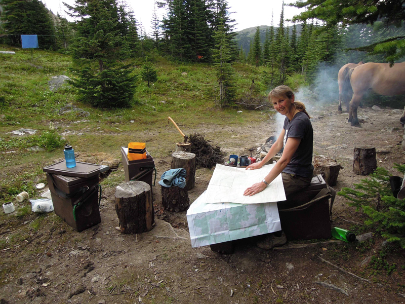
Sue consults maps in the campsite.
The next day was our final challenge – route-finding across a long alpine section where line-of-sight was key and clear weather was mandatory. Maybe we stored up our luck by persevering during the first week of rain – who knows? – but clear skies and a brisk wind that blew the flies away were what we needed, and that’s what we got.
The alpine crossing was not technically challenging. But finding a horse-friendly route to the correct notch across mountainous alpine terrain was deceptively difficult, and Sue and Tom’s calm approach to difficult circumstances and their confidence in our ability to find our way made a stressful day truly enjoyable.
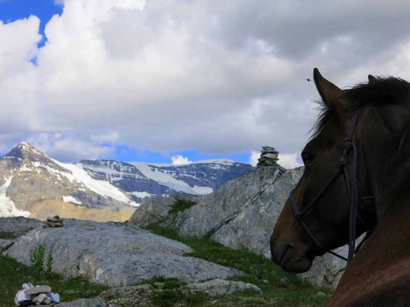
At the last pass looking east.
Our last two days were spent at subalpine Blueberry Lakes, resting the horses, relaxing, and reflecting on the trip. A three-week pack trip is long enough to find out who you’re with and what they’re really like. Fortunately, we all got along great, and our combination of skills and personalities allowed us to overcome the challenges of the journey. We also had excellent horses and were lucky with the weather when we needed to be. Riding down to our pick-up point, we agreed that completing the journey was very satisfying, but completing the journey with seven sound horses and a stronger friendship was even better.
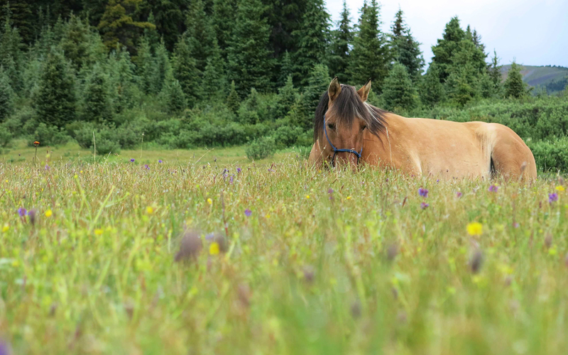
A well-earned rest after a long day.
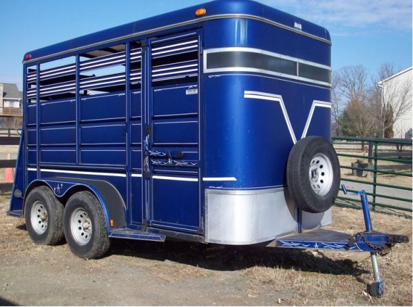
In these days of instant communication, it feels odd to plan to meet someone on a specific date and time on the far side of three mountain ranges, in a different time zone, three weeks hence. However, we arrived at the correct place on the right date and Stan Walchuk showed up with his trailer as promised. While loading gear and horses into the trailer, it started to rain and we drove into McBride in a horrendous thunderstorm. Blinding lightning, crashing thunder, and torrential rain made unloading the horses quite challenging. However, after leading the horses to the field, it was gratifying to watch them gallop off into the storm, free of halters and hobbles for the first time in three weeks. It was also fitting to end the trip in pounding rain, just as it had started.
But when one adventure ends, another begins. Remember the route along the Continental Divide that we’d originally planned to ride? It’s still there, waiting for hoof prints.
Related: Horse Packing Adventures in the Backcountry
Related: 550 Kilometres on Horseback on the Trans Canada Trail
Photos courtesy of Tania Millen.


